-
December 2nd, 2025
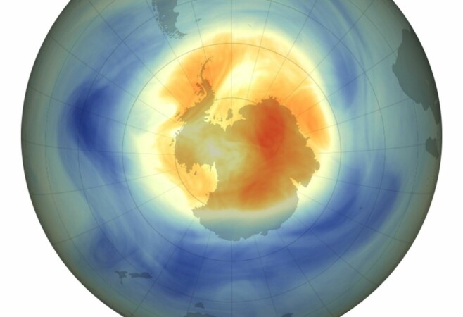
NASA, NOAA Rank 2025 Ozone Hole as 5th Smallest Since 1992While continental in scale, the ozone hole over the Antarctic was small in 2025 compared to previous years and remains on track to recover later this century, NASA and the National Oceanic and Atmospheric Administration (NOAA) reported. The hole this year was the fifth smallest since 1992, the year a landmark international agreement to phase
-
November 11th, 2025
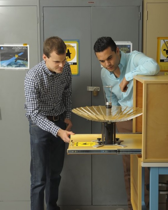
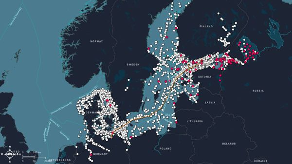
New Satellites Launching to Enhance Maritime VisibilityAcross the world’s oceans, including U.S. territorial waters, some vessels deliberately “go dark,” switching off AIS (cooperative beacon) to operate undetected. These actions can mask illegal fishing, pollution or non-compliant operations, posing risks to maritime safety, fair competition and environmental security. With its constellation of 17 satellites, Unseenlabs detects radiofrequency (RF) emissions from ships’ onboard electronics, enabling
-
October 28th, 2025
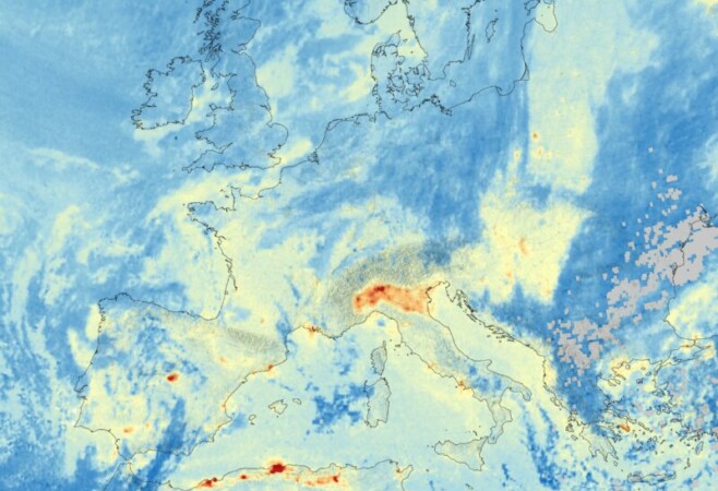
First Image of Nitrogen Dioxide from Sentinel-4The new Copernicus Sentinel-4 mission has delivered its first images, highlighting concentrations of atmospheric nitrogen dioxide, sulphur dioxide and ozone. Despite being preliminary, these images mark a major milestone in the ability to monitor air quality all the way from geostationary orbit, 36,000 kilometers above Earth. This image depicts tropospheric nitrogen dioxide with clear pollution hotspots visible
-
October 12th, 2025
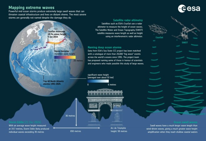
Satellites Reveal the Power of Ocean SwellDriven by wind, waves are at their most powerful during storms, yet the greatest threat to coastlines often does not come from the storm itself, but from the long swells that carry wave energy far beyond the storm’s reach. These long waves radiate across oceans, and their properties—such as wave period, or the time between
-->