-
April 26th, 2025
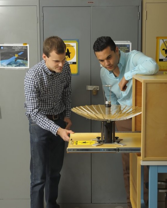
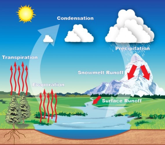
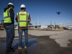
NASA Tracks Snowmelt to Improve Water ManagementAs part of a science mission tracking one of Earth’s most precious resources–water–NASA’s C-20A aircraft conducted a series of seven research flights in March that can help researchers track the process and timeline as snow melts and transforms into a freshwater resource. The agency’s Uninhabited Aerial Vehicle Synthetic Aperture Radar (UAVSAR) installed on the aircraft
-
April 14th, 2025
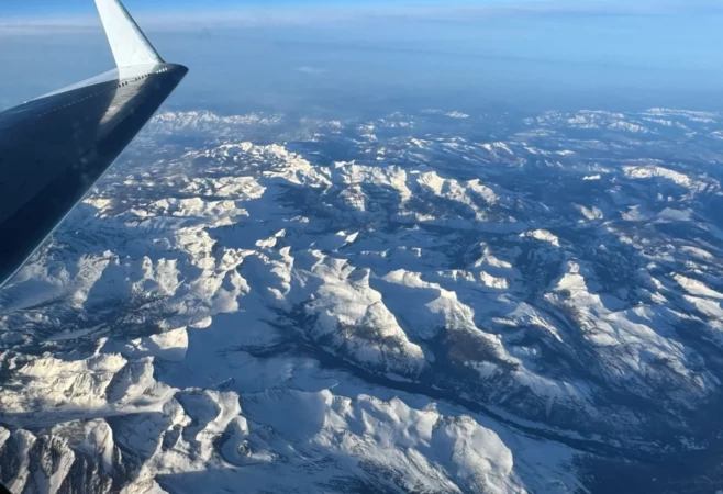
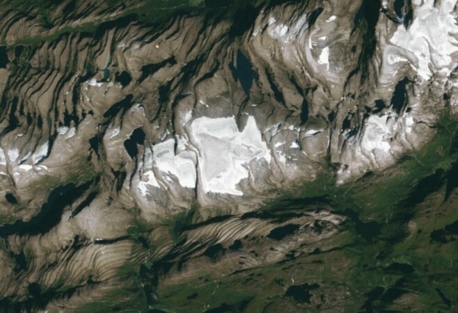
Norway’s Ålfotbreen Glacier Melting Faster in Recent SummersEven in the far north and in a wet climate, Norway’s Ålfotbreen glacier is rapidly shrinking. This glacier grew as recently as the 1990s but has been getting smaller since then due to more frequent and intense heat waves. Scientists have found that ice loss from mountain glaciers globally has been speeding up over time. Image
-
March 31st, 2025
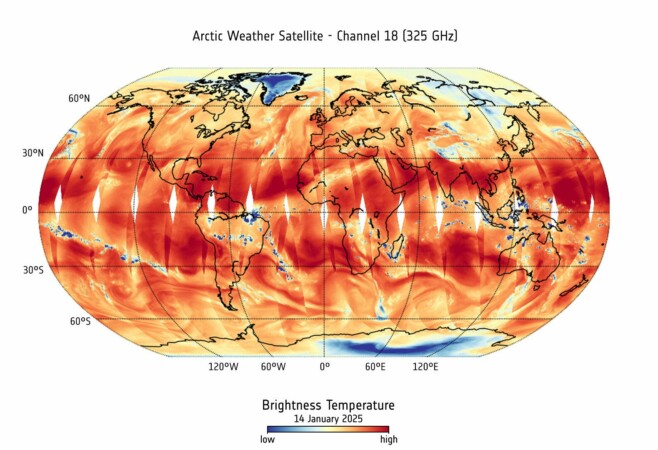
Arctic Weather Satellite Introduces a New ChannelLaunched just seven months ago, ESA’s Arctic Weather Satellite has been proving how the New Space approach can accelerate the development of missions capable of delivering detailed temperature and humidity profiles for short-term weather forecasts. Moreover, the impact of this small prototype satellite goes even further–remarkably, its measuring instrument has been recognised as able to provide data
-
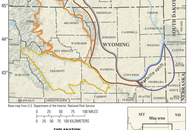
The U.S. Geological Survey (USGS) assessed that the upper Paleozoic reservoirs of the Wind River, Bighorn and Powder River basins has technically recoverable resources of 47 million barrels of oil and 876 billion cubic feet of gas. This area includes Wyoming and parts of southern Montana as well as parts of western South Dakota and Nebraska. Since exploration
-->