-
September 26th, 2025
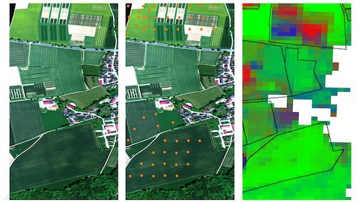
HySpex Imagery: True Color and Combined with Other Data SourcesOn the left we see a high-resolution HySpex image of the Puch test area in true colors, taken on May 12, 2025. In the center is the same image with locations of drone acquisition points (orange). And on the right, land cover derived from EnMAP satellite data. Pixel colors denote photosynthetically active (“live”) vegetation in
-
September 15th, 2025
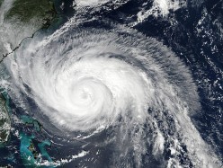
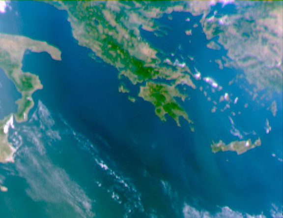
First View of Aerosols from MetOp-SG’s 3MI InstrumentMetOp Second Generation (MetOp-SG) was launched in August 2025. Two of its instruments have already returned first data. Now it’s the turn of the Multiviewing multichannel multipolarisation imager (3MI), which was built by Leonardo and provides data on aerosols in our atmosphere. The first images captured by 3MI are a view over Northern Africa, Italy and the eastern Mediterranean,
-
September 2nd, 2025
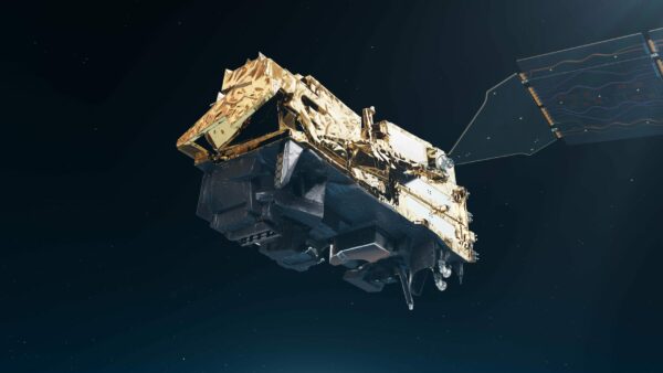
Next-Gen METOP-SG Weather Satellite Features Specialized SensorsLYNRED supplied three of the four critical detectors onboard the METOP-SG weather satellite, which was launched from Kuru, French Guyana, on Aug. 12, 2025. The satellite will orbit the Earth pole-to-pole to deliver near real-time data on the state of our atmosphere, resulting in more accurate forecasts, better disaster preparedness and a sharper view of the
-
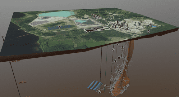
August 13th, 2025
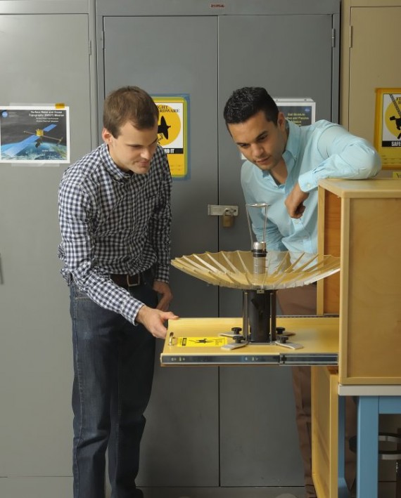
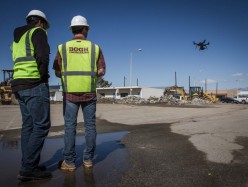
Autonomous Breakthrough without GNSS or Fixed Infrastructure for Extreme EnvironmentsAdvanced Navigation successfully demonstrated a breakthrough in underground navigation, delivering high-precision positioning without reliance on fixed infrastructure or GNSS, in Europe’s deepest underground mine in Pyhäjärvi, Finland. The Hybrid Navigation System, combining a Laser Velocity Sensor with the Boreas D90 fiber-optic gyroscope Inertial Navigation System, achieved consistent sub-0.1 percent navigation error across multiple runs, without relying
-->