 Geomatics for Heritage Management is strategic for sustainable development and cultural tourism, for economic development, cultural tourism, civil protection, for environmental monitoring and management of emergencies. The positive results of the work carried out convinced us to intensify the efforts and survey a wider area, aiming at covering European regions and worldwide.
In a systematic way the complex topics and techniques are covered that can be assembled under geomatics namely, geodesy, cartography, photogrammetry, remote sensing (RS), informatics, acquisition systems, global positioning systems (GPS), digital image processing (DIP), geographic information systems (GIS), decision support systems, and web GIS. Others include :
This field of study is mainly influenced by an inter-disciplinary approach that includes geoscientists and geographers, engineers, architects, computer scientists, urban planners, specialists in GIS, remote sensing, forestry, agricultural science, soil science, geometry, environmental scientists, civil protection scientists and managers.
For more than 17 years, we have been developing morphological monitoring techniques based on traditional land surveying equipment. These include theodolites, electronic distance measuring devices, both absolute at sub-millimetric accuracy – derived by prototypes developed at Manchester University, UK). This work also included 2D/3D thematic cartography, remote sensing (RS) analysis with the support of European SMEs and research centres under European Programmes for Cultural and Natural Heritage Management.
These techniques were supplemented by the more easy satellite positioning technology based on different geomatic technologies (including GPS and CAD/GIS prototypes and RS.
The early GPS deformation monitoring techniques combined with novel remote sensing analysis were developed for the benefit of urban planners, who were involved in the conservation and valorization of cultural and landscape heritage in England, Sicily and other European test sites (such as Lombardia, Friuli Veneziia Giulia, Abruzzo, Marche and Wahlkreis in Switzerland). At that time GPS suffered from a number of limitations which affected the coverage, accuracy and reliability of the satellite measurements.
Global Navigation Satellite Systems (GNSS) allow continuous nearly-real-time monitoring of the small movements of points. But new systems (evolved over the years from strict military use) can control commercial mainstream application for several security reasons (including terrorism).
In the frame of POR Programme (2000-2006) and the Etna Park Programme (2006), we have developed pilot experiments on the field of novel geomatics applications (virtual reference station, laser scanning, thermal mapping, telecommunication, RS, GPS, wireless applications, innovative mobile mapping systems, web services and web GIS portals, etc.) in order to demonstrate that geomatics is useful to monitor construction yards (for Cultural Heritage Conservation and Archaeology) and in order to avoid accidents due to dangerous mutual position of workers and machines (for security plans) with the implementation of innovative “Dispositivi di Protezione Speciale”.
The security plan belonged to Curia Arcivescovile di Catania. The methodology has already tested applications in conservation and valorization of cultural heritage, tourism and rescue, the research has also studied the social advantages in civil protection area and cultural tourism.
Thanks to the funding provided by the European Union (through the INTERREG Program) and the Sicilian region Catania Province and Etna Park, many kilometers of greenways and roads have been already surveyed in Sicily and Mediterranean regions.
In the meantime, working during my PhD in Geomatics and GIS (XIX cycle) at the University of Trieste, we tested geomatic applications of the data gathered to tourism and territorial and landscape planning in the Catania Province and as well as in the Etna Park.
Furthermore, the development of GALILEO and it’s proposed interoperability with GPS along with the use of EGNOS, will contribute substantially to the quantity and quality of the satellite measurements thereby improving the quality of the deformation monitoring process.
Moreover, the availability of signals from two different satellite systems is likely to reduce the price of GNSS receivers and sensors and thus enabling a wider spatial coverage with an increase in the number of monitoring points.
In particular GALILEO will increase the integrity of the GNSS measurements, which is very important for such applications affecting Safety of Life (SoL), and therefore involving legal and economic consequences.
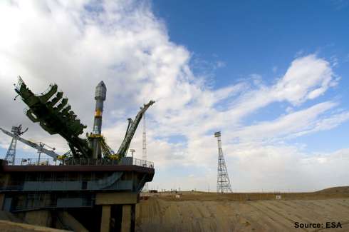
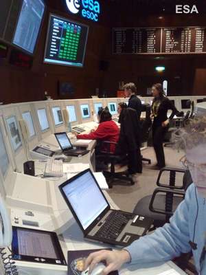
In this context the European GALILEO Project managed on behalf of the European Union (EU) and the European Space Agency (ESA), by GALILEO Joint Undertaking (GJU), has opened a new era in satellite navigation.
The research represents an important tool for the implementation of new tested analysis and updating under novel international educational and research programmes in the field of geomatics and intelligence.
———————————————————————————————————-
Article by Prof. Arch. Agata Lo Tauro, Minister of Education, the University and Research, IPSIA “Majorana-Sabin”, Viale Libertà 151, 95014, Giarre, Italy. e.mail: agatalotauro at tiscali.it http://www.miur.it
References
ECNC (European Center for Nature Conservation) 1996. Perspectives on Ecological Networks, Arnhem, ECNC publication series on Man and Nature, voi. I. pp 1-276
Intesa Stato – Regioni – Enti locali per la realizzazione dei sistemi informative geografici (Versione 16I del 29 Aprile 2001) http://www.intesagis.it/specifiche_tecniche.asp
Micelli, S. & Di Maria, E. 2000. Città e cultura nell’economia delle reti, Bologna. Il Mulino, pp 1 28
Nuryanti, W. 2004. Heritage and Postmodern tourism. Annals of Tourism Research 23, pp 249-260
Lo Tauro A. 2001. Beni culturali, Attività produttive, valenze ambientali, Master Thesis in Storia ed analisi del territorio, Scuola Superiore, Catania University
Lo Tauro A. 2003. Technologies for Cultural Haritage: cultural electronic portals and webGIS, Master Thesis in Economia del recupero e della valorizzazione dei beni culturali, Scuola Superiore, Catania University
Lo Tauro, A. 2005. Tecnologie GIS per la tutela e valorizzazione dei beni culturali, Sessione 2.1 GIS/applicazioni nella pianificazione e gestione territoriale, Atti della 99 Conferenza ASITA, pp. 1375 – 1380
Lo Tauro, A. 2006. Terrestrial laser scanner in natural heritage: new perspectives in 3D surveying, 2° European Optech LaserScanner 3D Seminar, Electronic document: www.codevintec.it
Lo Tauro, A. 2007a Geomatic technologies in Cultural Heritage Survey and Conservation in EVA 2007 Florence Conference pp. 146-151
Lo Tauro, A. 2007b The integration of Remote Sensing and GIS to facilitate Environmental and Cultural Resources Management. PhD Thesis, Faculty of Informatics and Matematics, University of Trieste.
Manzoni. G. 2007 “ICT per il Territorio” Electronic doc.: http://www2.units.it/~telegeom/
Musumeci, M. 2000. Innovazione Tecnologica e Beni Culturali. Uno studio sulla situazione della Sicilia, Cagliari, CRENoS
Nocentini S. 2004. Parchi e riserve di varia tipologia e alter aree protette in Italia. Atlante dei tipi geografici, Firenze, IGM, pp. 391-394
Nuryanti, W. 2004. Heritage and Postmodern tourism. Annals of Tourism Research 23, 249-260
O’Sullivan, David, Alastair Morrison, and John Shearer. 2000. Using Desktop GIS for the Investigation of Accessibility by Public Transport: an isochrone approach. International Journal of Geographical Information Science. 14, pp. 85-104.
Pilati, A. 2002. Nuove tecnologie: Opportunità e Mercati, Economia della Cultura, (I), 35-37
Richards, G. 2003. Production and Consumption of European Cultural Tourism. Annals of Tourism Research, 22, 261-283
Surace L. 1998 La georeferenziazione delle informazioni territoriali, Bollettino di Geodesia e Scienze Affini, 3, Firenze, IGM
Villa, B. Corso di Topografia, Corso di laurea in Architettura, 2007-2008,
http://www.architettura.unipa.it/
Web sites:
http://www.asita.it
http://www.cgtsrl.it
http://cordis.europa.eu/fp7/home_en.html
http://www.esa.int/
http://www.flirthermography.com
http://www.miur.it
http://www.umuc.edu
