")
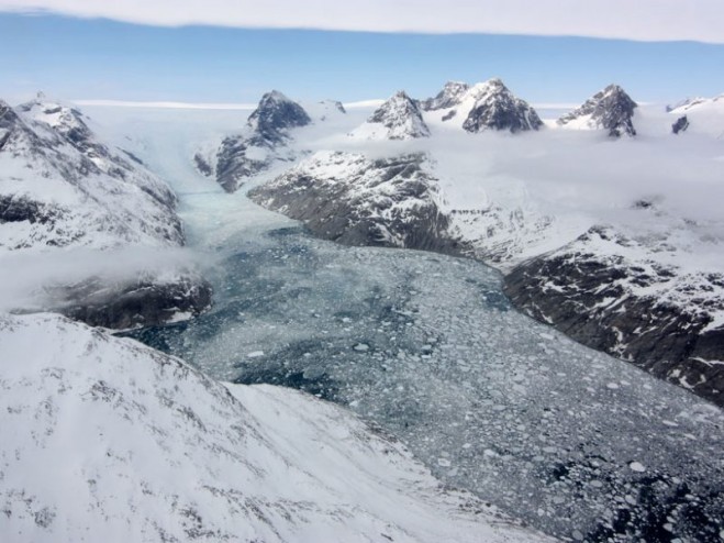
As the Greenland ice sheet melts and releases freshwater into the ocean, it will decrease ocean salinity in the Arctic region. A new study shows how satellites could help scientists monitor ocean salinity in the Arctic as climate change progresses. (Credit: NASA’s Earth Observatory)
Monitoring ocean salinity is essential for understanding its impact on ocean circulation, Earth’s water cycle, marine ecology and climate change. Ocean salinity in the Arctic is of particular interest, because it changes significantly with seasonal ice cover and is expected to decrease as the Greenland ice sheet melts and releases massive amounts of freshwater.
Despite its importance, ocean salinity in the Arctic has been poorly monitored because of the harsh environment and obstacles posed by sea ice, which impede field measurements. Moreover, surface salinity is most difficult to measure at high latitudes because of colder temperatures. However, a new study by Garcia-Eidell et al. shows that satellite-based methods produce reasonably accurate measurements of Arctic sea surface salinity from season to season and year to year.
The research team compared four different satellite-based strategies to map monthly changes in Arctic sea surface salinity from 2011 to 2015. Each method used data from either NASA’s Aquarius mission or the European Space Agency’s Soil Moisture Ocean Salinity Earth Explorer mission.
Both satellites mapped ocean salinity by picking up faint microwave signals emitted by the sea surface, which change along with salinity. However, the precise design of their instruments differed, as did the mathematical analyses used to calculate salinity from microwave measurements.
Click here for more information.