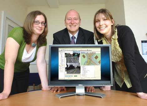
PR – Conwy County Borough Council has chosen Yotta DCL’s cutting edge automatic inventory surveying service to help update its asset inventory register. Yotta DCL will survey Conwy’s entire 1700km network of county roads using its innovative YAV 1 digital asset capture survey vehicle. Armed with survey data for carriageway, footway, gullies, signs, channel blocks and street name plates, Conwy will be able to accurately valuate its assets and predict maintenance costs.

“The Welsh Assembly Government requires that all local authorities produce highway asset management plans and we are pleased to report that we are pushing forward with these in Conwy. Yotta DCL provides us with an inventory survey service that is unique in its accuracy, speed and cost effectiveness. The data we get from the inventory survey will help us gain a clear and accurate picture of our assets and this will ensure that we have a fully updated asset management system,” says Alison Tomlinson, Asset Management Officer, Highways Department, Conwy County Borough Council.
For the survey, Yotta DCL uses its specially designed and developed YAV 1 vehicle equipped with six high-definition cameras that give a full street-level view of the highway. The cameras take an image every 2 metres as the vehicle drives along, with the precise position (<1m) of each image calculated by combining GPS, Inertial and Optical tracking systems with advanced algorithms. These images are processed by Yotta DCL’s proprietary software which analyses them pixel-by-pixel to give a highly accurate position and detailed information of each inventory item seen by the cameras on the journey.
“From the inventory survey, we are able to extract all the geographical information for each asset so that all interested parties can access it via our asset management system. Our asset management system is a powerful tool that provides a highly detailed GIS, a comprehensive asset register and the ability to order works and process condition data. It also allows us to look at asset lifecycles as well as using it as our pavement management system,” concludes Alison Tomlinson.