Leica Geosystems announces several new product features and support updates as part of the company’s continued investment in precision agriculture solutions. The company also releases additional steering solutions for several existing and new tractor models for the Leica mojo3D as well as access to the GLONASS constellation for the Leica mojoMINI.
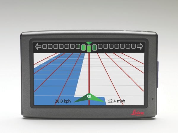 By supporting GLONASS, the Leica mojoMINI now gives access to the Russian global satellite navigation system and the standard GPS constellation. Using GLONASS, farmers can access an additional 20 plus satellite signals. With the added constellation the Leica mojoMINI now offers even more reliable and consistent coverage.
To strengthen Leica Geosystems steering capabilities, support for Deere & Company’s new R series AutoTracTM Ready tractor models via the Leica mojo3D and mojoXact is now available. It includes the John Deere AutoTracTM Ready tractor models 61xxR, 62xxR, 72xxR, 82xxR, 83xxR, 83xxRT, 93xxR, 94xxR, 94xxRT, 95xxR, 95xxRT. This provides the market with a simple single cable installation offering a quick and easy aftermarket steering solution.
A hydraulic kit is now available for the Valtra BT and BH models which is not typically factory fitted with any auto steering equipment. Additionally, Leica Geosystems released an innovatively designed hydraulic load reactive kit, which focuses on maintaining a tractors load reactive function for an intuitive steering response.
“Our continued support to the regions has been the main priority behind these recent releases to meet specific global market demands of farmers”, said Joe Arico, Manager Product Management and Global Support at Leica Geosystems Agriculture Australia.
More information about Leica Geosystems Agriculture products is available from all authorized Leica Geosystems distribution partners and at www.AgGuidance.com.
About Leica Geosystems’ Ag Guidance Solutions
Whether looking to reduce input costs and increase productivity through more efficient application, or save on time and operator fatigue by lowering the number of passes in the field, Leica Geosystems provides farmers with a suite of simple, reliable and affordable agricultural guidance and precision farming tools.
Leica Geosystems’ Ag Guidance solutions combine state-of-the-art positioning technology with robust, compact hardware built to withstand the toughest field conditions. Compatible with a wide range of vehicles and third party equipment and modular in software design, Leica Geosystems’ products are flexible and scalable to suit individual requirements.
With close to 200 years of pioneering solutions to measure the world, Leica Geosystems products and services are trusted by professionals worldwide to help them capture, analyze, and present spatial information. Leica Geosystems is best known for its broad array of products that capture accurately, model quickly, analyze easily, and visualize and present spatial information.
Those who use Leica Geosystems products every day trust them for their dependability, the value they deliver, and the superior customer support. Based in Heerbrugg, Switzerland, Leica Geosystems is a global company with tens of thousands of customers supported by more than 3’500 employees in 28 countries and hundreds of partners located in more than 120 countries around the world. Leica Geosystems is part of the Hexagon Group, Sweden.
