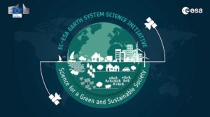
 The European Commission (EC) and the European Space Agency (ESA) launched the Earth System Science Initiative to provide a coordinated response to critical environmental challenges and related scientific questions.
The EC’s Research and Innovation Department and ESA’s Earth Observation Programmes Directorate are aligning a set of selected scientific activities under their respective Horizon Europe and FutureEO programs.
The aim is to match objectives, content and planning to jointly advance Earth system science and its contribution to responding to global challenges faced by society at large.
The initiative, which covers a range of Earth-science topics, will improve Earth system models and, importantly, deliver science-based information and tools to help European authorities and citizens deal with environmental threats caused by climate change.
Image Credit: ESA
