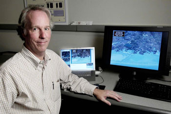
Gordon L. Wells, PhD., Program Manager for the Mid-American Geospatial Information Center located at the University of Texas at Austin Center for Space Research will address imaging, mapping and geospatial information professionals as the keynote speaker for the CaGIS/ASPRS 2013 Specialty Conference, Tuesday, October 29, 2013, in San Antonio, Texas.
 Dr. Wells also serves as a member of the Governor’s Emergency Management Council, where his team supports the State’s preparedness and response programs for homeland security and natural disasters. His hurricane landfall modeling and simulation results for storm surge and wind impacts are used by the Texas Division of Emergency Management for public meetings, planning, and training, and during activations of the State Operations Center for decision support during and after landfall. Dr. Wells will bring a wealth of knowledge supporting the conference theme, Imaging and Mapping for Disaster Management: From the Individual to the Global Community.
Dr. Budhendra Bhaduri, Corporate Research Fellow, Oak Ridge National Laboratory will present “Towards a Geospatial Knowledge Discovery Framework for Disaster Management” as the conference morning plenary session speaker on Wednesday, October 30.
The concluding conference plenary session welcomes Joshua S. Campbell, Geographer and GIS Architect, U.S. Department of State, who will discuss “Leveraging the Geographic Dimension for Analyzing Humanitarian Emergencies: Open Source, Imagery, Crowdsourcing, Mobile and Semantic Web” on Wednesday afternoon, October 30.
Despite the fact that several notable conferences have had to cancel due to the recent government shutdown, the CaGIS/ASPRS 2013 Specialty Conference will be taking place, as planned, October 27 through 30 at the Wyndham San Antonio Riverwalk in San Antonio, Texas. We are looking forward to an informative and exhilarating week of technical sessions, poster presentations, workshops, social activities and more.
The conference final program has been posted to the conference website at www.asprs.org/Conferences/San-Antiono-2013/Program. To view the fully digital final program, HYPERLINK “http://www.asprs.org/a/SanAntonio2013/Fall_2013_Final_Program_web/HTML/index.html” Click Here.
Additional photos are available upon request.
Founded in 1934, ASPRS is an international professional organization of 6,000 geospatial data professionals. ASPRS is devoted to advancing knowledge and improving understanding of the mapping sciences to promote responsible application of photogrammetry, remote sensing, geographic information systems and supporting technologies.