December 2, 2015 — SuperGIS Cup is an annual competition held by Supergeo and Lunghwa University of Science and Technology, with the main purpose of promoting the application of GIS and to provoke geospatial awareness among college students in Taiwan. The competition can be separated into two stages: the initial stage for submitting a project proposal and the final stage for GIS skills competition and project presentation.
This yearly GIS competition always attracts students from different disciplines. Competitors this year were from various domains such as industrial management, leisure business management, computer science, applied geomatics and information management.
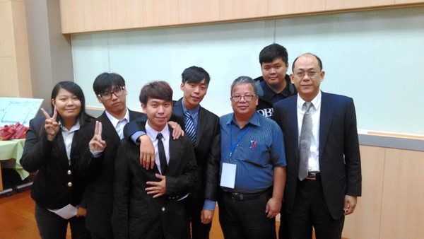
Students from National Taichung University of Education swept other teams to take the championship and second place last year. But this year, teams from Chien Hsin University outperformed other teams with proficient skills in GIS and well-designed projects. The presentation topic of the champion team was “Analyzing the Relation between Convenience Stores and the Community Environment”, which displayed the team’s original insight and the ability to execute geospatial analysis through GIS software. They also performed very well on the GIS manipulation contest, achieving various goals with amazing precision and speed. Supergeo is looking forward to promoting Geospatial thinking with more contests of this kind.