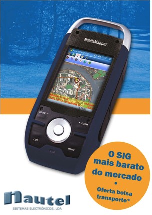
July 29, 2015 — Nautel, Portugal, the navigation and GPS turnkey solution provider, selects SuperField, the GIS data collection application, to provide users with a complete survey task-oriented choice.
Founded in 1990, the Lisbon-based firm focuses on offering maritime electronic equipment for fisheries, commercial shipping and navy uses. By providing portable GPS devices, the firm extends its service ranges to car and aeronautical navigation systems.
SuperField is designed to meet lightweight data collection demands. Users can integrate vector and raster data, and perform the most common GIS tasks on their handheld devices with affordable costs.
Supergeo also offers SuperPad, the advanced GIS data collection application, for those who may need external GNSS connection, import OGC service, NTRIP, post processing and customizations.
Nautel the Lisbon-based GPS and navigation solution provider http://www.nautel.pt/
(Webinar) Processing collected GIS data for advanced analyses http://www.supergeotek.com/support_ComingWebinars.aspx?Type=Upcoming&ID=1535