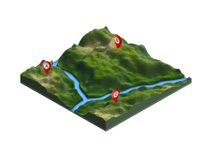
Correlator3D provides diverse tools and processing that’s required for intensive mining applications.
The Directorate of Resource Surveys & Remote Sensing (DRSRS) under the Ministry of Mining in Kenya is using SimActive’s Correlator3D for extensive mapping of mining activities. The software generates orthomosaics, contour lines and digital terrain models of fluorspar mines in the Kerio valley in Kenya.
“The DRSRS provides the Ministry of Mining with spatial information, processing hundreds of images to visualize settlements affected by mining activities to advise the Government of Kenya on compensation plans,” said Charles Situma, Deputy Director of the project.