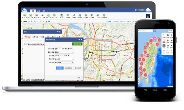
October 6, 2015 — Supergeo’s biggest application customer in Taiwan, Ministry of the Interior and the TGOS platform, has just announced one of the biggest projects in the GIS field from ide@ Taiwan 2020 Policy: White Paper which focuses on the integration of internal geographic information data with smart cities and smart rural areas. The current project works to initiate the creation of a nationwide common base-map and the global standardization of GIS industries.
Since all kinds of GIS data have been collected and applied by individual institutions, it is difficult to gather and integrate all the data when responding to some emergency situations. This is why the TGOS platform and the data integration project are so important for the future. The Ministry of the Interior is now planning to integrate GIS data including House Number, Cadastral Map, Livelihood Activities Data, Aerial Photography, Watergates, Soil and Groundwater Restricted Areas, etc., to create a comprehensive GIS database. The release of a nationwide common base-map service (TGOS Map) will encourage additional institutions, currently working within individual silos, to integrate their unique geospatial data sets and GIS-based analyses, to provide multiple application benefits in sustainable land-use, disaster prevention and public safety.