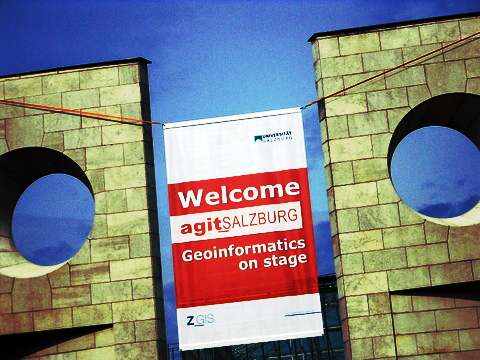
The annual Geoinformatics Forum Salzburg (GI Forum 2009) was held at University Salzburg in Austria July 7 – 10. About 1000 people attended the English speaking event which is combined with the Deutsche language AGIT 2009 event. GI Forum is a GIScience focused event with a strong educational component and AGIT is oriented around applications involving new discovery, research and education involving geoinformatic related technologies.
The 4-day long symposium included a combined audience of education professionals, government and industry individuals. AGIT / GI Forum is a key event for GI and GIS interested parties to attend who are interested in work evolving from central, southern and eastern Europe.
 GI Forum strives to provide an opportunity for new and young scientists, researchers and individuals from private industry and government with an opportunity to speak and share their work. In this sense the event is about building capacity and helping to develop young professionals in the GI industry.
It included presentations on topics such as landscape change, spatial analysis, global monitoring, renewable energy analysis, population demographics, health and insurance. The trade show included a wide array of companies and organisations displaying their goods and services with an interest to answer questions.
These included Trimble, Definiens, Autodesk, MicroImages, alta4, Topcon, OSGEO, FOSS4G, Intermap and erdas to name a few. Several universities were represented from Turkey, United Kingdom, Hungary, Austria, Spain, Poland, Thailand, Portugal, Bulgaria and the United States.
UNIGIS International Association (UAI) presented, for the first time in it’s history, an award for the best MSc theses. The winner André Coleman from UNIGIS Amsterdam was invited by UIA and GI_Forum to present his thesis with the topic “Adaptive Classification of Landscape Process and Function: An Integration of Geoinformatics and Self-Organizing Maps”.
The second place went to Tobias Fleischmann (UNIGIS Salzburg). The third award went to Christopher Needham (UNIGIS UK) who also presented here in Salzburg.
Coleman’s presentation was particularly interesting because it combined artificial neural networks (ANNs) with GIS as a means to discover and understand complex landscape relationships.
I spoke with the Washington State resident on his work. He said, “landscapes have a lot of variability, but they are not random, there is an order to all natural ecosystems and cause-effects.”
That relationship was the basis for linking neural networks to GIS on questions like streamflow, erosion and population use on the landscape. He also felt that the combination involving this approach could be quite useful for “what-if” scenario modeling.
Other sessions in GI Forum included digital cities, data analysis & acquisition, governance, image analysis, GPS, geospatial IT, spatial analysis, sustainable environments and education at the primary, high-school and university levels.
Several blogged reports were made from AGIT / GI Forum 2009 and are listed below:
GIS Learning and Spatial Literacy
GIS & Global Monitoring Discussion Session
GIS Posters – AGIT & GI Forum 2009
If you are looking to learn about some of the latest GIScience topics being researched with GIS and new applications being developed based on GI technologies, then next year’s event should be included in your calendar.