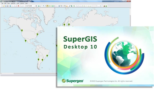
Attention, GIS users! Supergeo Technologies is releasing the beta version of its all new GIS software—SuperGIS Desktop 10. Global users can now download this version directly from the official website of Supergeo. Serving the rapidly growing demands for GIS worldwide, SuperGIS Desktop 10 provides a friendly and well-designed UI and also strengthens the abilities for spatial analysis and data processing.
Users can now load spatial data with temporal attributes and visualize these data through the Temporal Slider in SuperGIS Desktop 10.This provides great convenience for users to comprehend abstract information and make complex decisions. In response to the wide popularity of map services, the cache generator of SuperGIS Desktop 10 has also been upgraded. The all new cache generator can now generate vector tiles, which offers users greater flexibility to use map tiles and can enhance the performance of map services at the same time. SuperGIS Desktop 10 includes a sophisticated LiDAR tool, allowing several ways to display data in both 2D and 3D environments. Diverse functions such as data filtering, splitting, merging and converting are also available to process LiDAR data, which allows users to reduce data amounts and share with others more easily. In addition to these new feature-rich extensions, the Process Designer empowers users to integrate and connect different analyzing functions for a customized workflow. And the advanced spatial processing and analyzing tools in the SuperGIS Toolkit will help users to conduct geospatial projects more effectively.
Established in Taiwan, Supergeo Technologies has researched and developed its state-of-the-art GIS products for a global market. And Supergeo remains devoted to promoting geospatial awareness, and wish to build a better future with GIS technologies. The release of a stable version of SuperGIS Desktop 10 is scheduled in the second quarter of 2016. Please follow the latest Supergeo news, which will continually bring you the most recent development progress of SuperGIS Desktop 10.
Want to know the new features of SuperGIS Desktop 10? http://www.supergeotek.com/LandingPage_SGD10.aspx
Get a Free Trial of SuperGIS Desktop 10 Now! http://www.supergeotek.com/download_6_desktop.aspx