Citizen volunteers are making significant additions to the U.S. Geological Survey’s ability to provide accurate information to the public. Using crowd sourcing techniques, the USGS project known as The National Map Corps (TNMC) encourages citizen volunteers to collect manmade structure data in an effort to provide accurate and authoritative spatial map data for the National Geospatial Program’s web-based The National Map.
These structures can include schools, hospitals, post offices, police stations and other important public places along with data from other sources, the data currently being collected by volunteers become part of TNM Structures dataset which is made available to users free of charge.
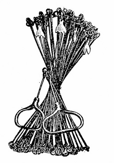
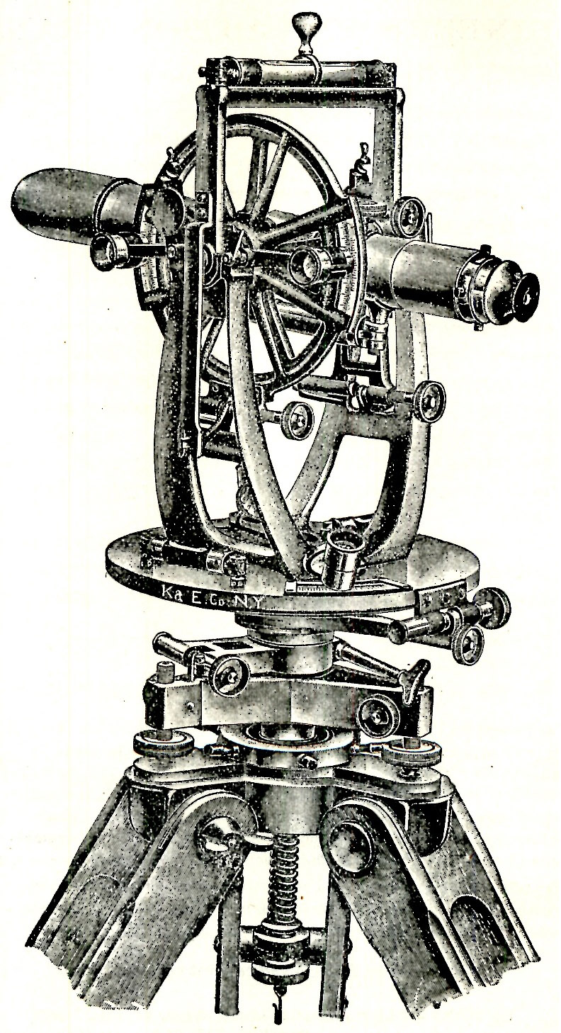
In an effort to recognize the important work being done by volunteers, TNMC has created a recognition program based on the number of points a volunteer contributes. Levels of recognition are displayed in the form of icons or badges of antique catalog drawings of different and increasingly sophisticated pieces of surveying equipment. Each badge comes with a description of the item and encouragement to achieve the next level. As a volunteer attains each level, a congratulations email is sent, and the accomplishments are recognized via The National Map Twitter site (#TNMCorps) and the USGS Facebook page.
Recognition Categories:
| Recognition Category | Number of points |
| Order of the Surveyor’s Chain | 25 – 49 |
| Society of the Steel Tape | 50 – 99 |
|
Pedometer Posse |
100 – 199` |
|
Circle of the Surveyor’s Compass |
200 – 499 |
|
Stadia Board Society |
500 – 999 |
|
Alidade Alliance |
1000 – 1999 |
|
Theodolite Assemblage |
2000+ |
 |
 |
|
Order of the Surveyor’s Chain award. |
Thedolite Assemblage award. |
Becoming a volunteer for TNMC is easy; go to The National Map Corps project site to learn more and to sign up as a volunteer. If you have access to the Internet and are willing to dedicate some time editing map data, we hope you will consider participating.
While some familiarity with the area that a volunteer chooses is helpful, you do not have to live near a particular place to contribute. The tools on TNMC website, along with ancillary information available on the Internet, are generally sufficient to edit a distant area. There are presently nineteen states available for volunteers to choose to update structures in.
See for yourself how much fun participating can be. Go to The National Map Corps home page, give it a try and before you know it you’ll be hanging out with the Pedometer Posse!