Supergeo Technologies, the leading global provider of complete GIS software and solutions, launches SuperVeyor 2013, the mobile GIS application, for flexible field data collection.
 Designed to be the bundled solution for various Windows Mobile devices, SuperVeyor 2013 allows surveyors to easily collect, edit, measure, and query spatial data for greater field productivity.
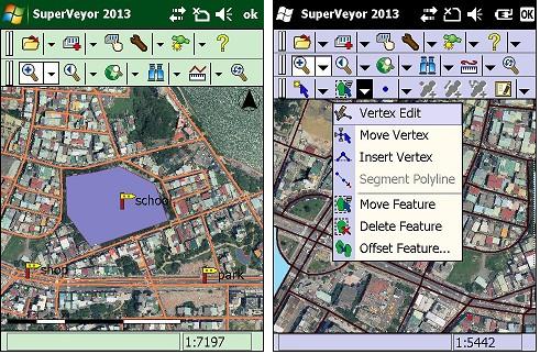
In addition to offering a friendly user interface, SuperVeyor 2013 is able to work with GPS to locate current position and record GPS track. Moreover, the mobile GIS app supports multi-language interfaces, local coordinate system settings, specific program splash, etc. to meet various requirements of filed tasks.
Taking the advantage of custom flexibility, SuperVeyor 2013 is ideal for developing your own-branded solutions to achieve business objectives in the surveying and mobile GIS applications such as facility management, agriculture, census, mining, forestry etc.
More information about SuperVeyor 2013, please visit http://www.supergeotek.com/SuperVeyor.aspx
