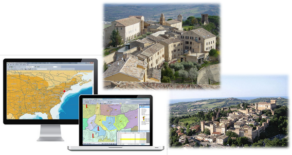
September 24, 2015 — Supergeo Technologies Inc., the GIS software and solution provider, announces that Treia City, Italy enhances its urban planning with SuperGIS Desktop, the powerful GIS software developed by Supergeo.
Located in the central Italy, Treia is a historical town with rich historic ruins and attracts many visitors around the world every year. The city government has invested a lot of resources each year to maintain its precious heritages. Therefore, they select SuperGIS to manage its properties.
SuperGIS Desktop is not only designed for general GIS purposes, but also aims to be applied in various domains. Its abundant editing and analysis tools can help users dealing with their daily geospatial tasks.
Equipped with Parcel Editor and COGO tool, SuperGIS Desktop is able to assist officers to edit cadastral data with ease. Also, SuperGIS Network Analyst can handle the traffic issues for Treia City and its tourism planning, so that both the citizens and tourists can enjoy the convenience GIS brings.