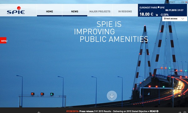
August 19, 2015 — Supergeo, the total GIS software solution provider, announces that SPIE, France, chooses SuperPad, the mapping application designed for Windows Mobile, to empower its streetlights and other utilities survey works.
SPIE, the European leading company in multi-technical services with energy and communication systems, aims to build energy-efficient and environment-friendly facilities for its customers. By importing SuperPad to their field works, the first-line surveyors are able to improve the workflow.
With SuperPad, field workers can efficiently collect and update the status of streetlights and export it to common-use SHP file for office staff. To data accuracy, users can also connect external GNSS devices, and use NTRIP extension to make collected data in sub-meter level.
Moreover, SuperPad offers the possibility to communicate with SuperGIS Server, so that the up-to-date information can be timely uploaded on the Internet, and related staff or the public can gather needed information.
Learn more from free course of SuperPad
Complete Forestry Management with SuperPad & SuperGIS Desktop

