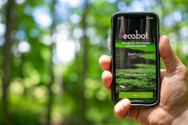
ASHEVILLE, N.C.– Ecobot, the developer of transformative environmental data reporting software, announced today that it has acquired the wetland delineation software platform WetForm.
This acquisition will solidify Ecobot as the preeminent software provider in the space. Ecobot’s market share and usage have been surging since the company’s founding in 2018. WetForm, created in 1997, was the first software platform of its kind and enhances Ecobot’s domain expertise.

Through its acquisition, WetForm customers will have full access to the Ecobot platform: a submeter-accurate wetland app which includes enhanced Esri ArcGIS mapping technology, and a cloud-based project management and delivery dashboard. Patrick Murphy, WetForm’s founder, will join the Ecobot team as senior wetland scientist.
“Pat Murphy collaborated with the U.S. Army Corps of Engineers to develop the initial wetland delineation workflow and was one of the first scientists to perform a wetland delineation,” says Lee Lance, Ecobot co-founder and CEO. “His remarkable vision and his workflow-centric approach to building WetForm catapulted the industry forward. We are excited to collaborate with him and introduce his customers to Ecobot.”
“It is satisfying to know that WetForm values and features will influence and migrate to Ecobot,” says Patrick Murphy, founder of WetForm. “It is also exciting that the GIS features of Ecobot will exceed WetForm’s capabilities, providing a better overall benefit to hard-working field personnel. This merger takes the past and propels it well into the future.”
About Ecobot
Ecobot is the only cloud-based platform that provides true efficiency, accuracy, and reliability to wetland scientists, allowing them to complete U.S. Army Corps of Engineers (USACE) wetland delineations twice as fast. Ecobot has been used to successfully submit over 9,000 wetland determination forms to the USACE, saving the environmental regulatory industry significant time and money. Learn more at ecobotapp.com.