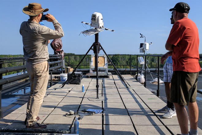
 A classic scenario plays out in action films: criminals evade aerial pursuit from the authorities by seamlessly blending in with other vehicles and their surroundings. The Air Force Office of Scientific Research (AFOSR) now has Rochester Institute of Technology (RIT) researchers utilizing hyperspectral video imaging systems that make sure it doesn’t happen in real life.
Although the human eye is limited to seeing light in three bands—perceived as red, green and blue—hyperspectral imaging detects bands across the electromagnetic spectrum far beyond what the eye can detect. This high-resolution color information can help us better identify individual objects from afar. The AFOSR awarded a team of researchers led by principal investigator Matthew Hoffman, an associate professor and director of the applied and computational mathematics MS program, a nearly $600,000 grant to explore if hyperspectral imaging systems can do a better job at tracking vehicles and pedestrians than current methods.
“It is very challenging to track vehicles from an aerial platform through cluttered environments because you cannot really see a vehicle’s shape as well, and a lot of machine learning computer algorithms are based on shapes,” said Hoffman. “Buildings, trees, other cars, and a lot of things can potentially confuse the system. As hyperspectral video technology has improved, we believe we can use color information to more persistently track targets.”
The challenge with using hyperspectral imaging is that it produces massive amounts of data that can’t all be processed at once, so Hoffman and his team are also tasked with creating a process to efficiently use the information on demand. The team will use the Digital Image and Remote Sensing Image Generation model developed by RIT’s Digital and Remote Sensing Laboratory to develop a new dynamic, online scene building capability that helps re-track targets after they have passed by obstacles.
Photo Credit: RIT


